
 Since Google launched its Google Earth feature in 2005, the company has become a worldwide leader in providing high-resolution satellite imagery. In 2010, Google Earth allowed the world to see the extent of the destruction in post-earthquake Haiti. This year, Google released similar images after Japan's deadly tsunami and earthquake
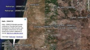
With just one click, Google can bring the world—and a better understanding of far-away events—to your computer. There is one entire country, however, that Google Earth won't show you: Israel.
That's because, in 1997, Congress passed the National Defense Authorization Act, one section of which is titled, "Prohibition on collection and release of detailed satellite imagery relating to Israel." The amendment, known as the Kyl-Bingaman Amendment, calls for a federal agency, the NOAA's Commercial Remote Sensing Regulatory Affairs, to regulate the dissemination of zoomed-in images of Israel.
When asked about the regulation, a Google spokeswoman said to Mother Jones, "The images in Google Earth are sourced from a wide range of both commercial and public sources. We source our satellite imagery from US-based companies who are subject to US law, including the Kyl-Bingaman Amendment to the National Defense Authorization Act of 1997, which limits the resolution of imagery of Israel that may be commercially distributed."